Background Information
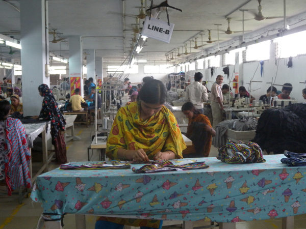
Slow Down Fast Fashion
Tips and resources to inspire sustainable and slow fashion consumption.
GRADE LEVEL: Middle School (6-8), High School (9-12), College and Beyond
Objective: Students will use map resources to label a map of Afghanistan with its current bordering countries, current key cities, and ancient sites/cities: Students will learn the geographical placement of Afghanistan in Asia and its neighboring countries. This knowledge will bring a heightened awareness of the influence and exchange among nearby countries with Afghanistan—culturally, politically, and militarily. They will also become familiar with the names of ancient sites and their location in present-day Afghanistan.
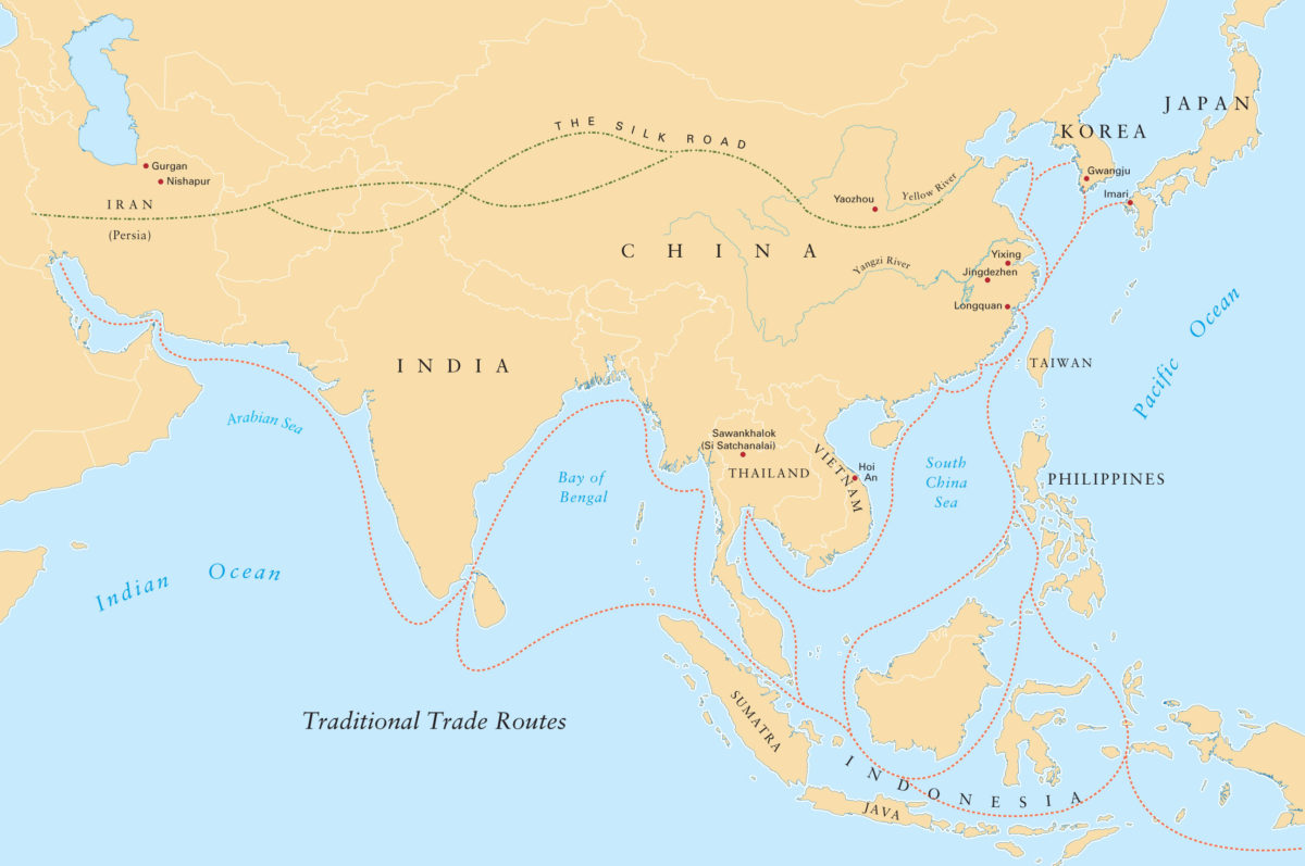
Silk Road Map

Content Standards (California): HSS 6.6.7: Cite the significance of the trans-Eurasian “silk roads” in the period of the Han Dynasty and Roman Empire and their locations.
Materials and Preparation/Downloads:
1.) Afghanistan Map: Teacher Version (with cities, ancient sites, and bordering countries labeled—as a teacher resource/answer sheet); 2.) Afghanistan Map: Student Worksheet (teachers should make copies for the class; 3.) Map resources for the students (e.g. student atlas books); 4.) Colored pencils for students to label maps; 5.) Silk Road Map; 6.) Silk Road Trade List worksheet
Procedure:
Part A: Afghanistan Map
Extension:
Maps can become a resource for other activities. For example, students could: 1.) Map the route of Alexander the Great, including key cities during his stay in Afghanistan and the location of various battles; 2.) Make drawings representing natural resources found in Afghanistan; 3.) Use it to log events currently occurring in Afghanistan, politically and militarily.
Part B: Silk Road Map
This lesson was created by Agnes Brenneman, Curriculum Consultant and retired 6th Grade Teacher, Park Day School, Oakland, CA, in conjunction with the exhibition, Afghanistan: Hidden Treasures from the National Museum, Kabul.
Background Information
Tips and resources to inspire sustainable and slow fashion consumption.
Activity
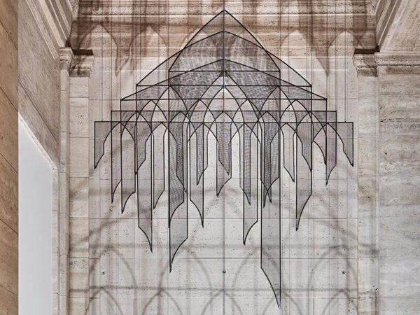
In this activity, you will create your own “space sculpture” out of found objects, light, and shadow.
Activity
Lesson
Activity
Activity
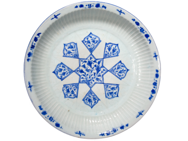
Design a calligraphic plate using Arabic script and images inspired by a meaningful word.
Background Information
Islam has been an important cultural force in much of Asia for more than five hundred years, and in some parts for more than a thousand. Today, far more Muslims live in other parts of Asia than in the Arab areas of Asia such as Iraq, Saudi Arabia, and Syria.
Video
Touraj Daryaee, Howard C. Baskerville Professor in the History of Iran and the Persianate World and the Associate Director of the Dr. Samuel M. Jordan Center for Persian Studies & Culture at the University of California, Irvine, gives a talk to teachers about Cyrus the Great in conjunction with the Cyrus Cylinder exhibition at the Asian Art Museum (on view from August 9–September 22, 2013).
Video
An animated map and timeline overview of the rise of the First Emperor and the expansion of the state of Qin in ancient China.
Video
Note: This video does not include audio.
The exhibition, “Emperors’ Treasures: Chinese Art from the National Palace Museum, Taipei” at the Asian Art Museum (from 6/17-9/18/16) focuses on Chinese imperial taste over more than 1,000 years, during which Chinese political borders changed dramatically. This video highlights some of those changes.