Activity
Create a Color Trip Collage
GRADE LEVEL: Middle School (6-8), High School (9-12), College and Beyond
Objective: Tap the "Explore the Map" button below to begin exploring this interactive map. Zoom-in on high resolution details and discover English translations of the classical Chinese text, images, and synopsis by scholars.
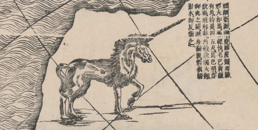
Screenshot of Verbiest Map Interactive
Sea creatures cavort in the waves, a six-masted trading vessel sails the Atlantic, and exotic animals populate the southern continent in this monumental eight-panel map.
The world is displayed in two hemispheres, reversing the conventional European positioning so that China and the Pacific are toward the center, with the prime meridian (where the longitude is 0°) running through Beijing.
Made by the Flemish priest Ferdinand Verbiest (1623–1688) with the help of Chinese collaborators, the map is one of the largest woodblock-printed maps of its type. Verbiest arrived in China after the Ming dynasty had fallen to the Manchu-ruled Qing dynasty. Highly skilled in many disciplines, he became a court adviser, working especially closely with the Kangxi emperor. This ruler was astute in using the service of Jesuit missionaries in ways that furthered his own political power and he enlisted Verbiest’s aid with astronomical predictions, calendrical studies and ballistics.
This map is featured in the exhibition, China at the Center: Rare Ricci and Verbiest World Maps, on view at the Asian Art Museum from March 4–May 8, 2016. View another map in this exhibition by Matteo Ricci (Italian, 1522–1619).
The passages on this map combine fact with fantasy. In descriptions of the peoples of the world, the text reflects the seventeenth-century viewpoints and prejudices of its makers.
Activity
Activity
Activity
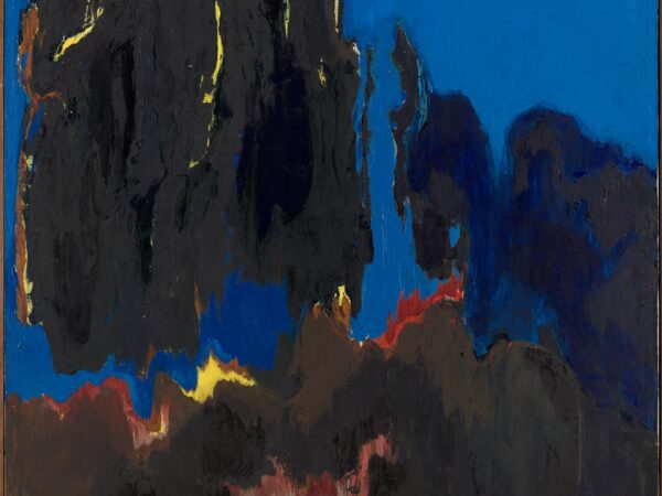
In this activity, you will create an art piece inspired by the work of Bernice Bing.
Activity
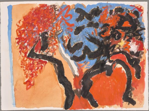
In this activity, you will explore Bernice Bing’s use of calligraphy in her paintings and then create your own!
Activity
Activity
Activity
Learn about the form of poetry called the pantoum and then write one of your own!
Activity
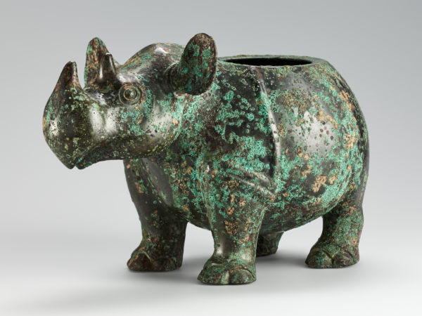
If you were to design a bronze vessel for a friend who has done something important for you, what shape would you make it? How would you decorate it? Would you use designs like the ones on the bronze vessels in the museum? What would you inscribe on it?
Background Information
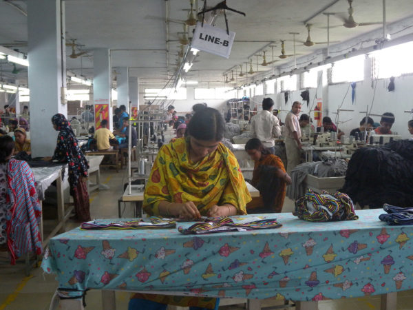
Tips and resources to inspire sustainable and slow fashion consumption.
Activity
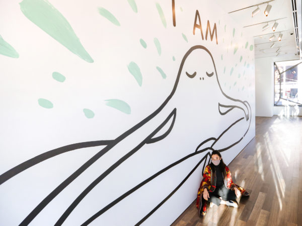
How would you answer Chanel Miller’s “I was, I am, I will be” prompt? Would your answers look like Miller’s, or would they look different?