Video
Mudras for Hindu Deities
GRADE LEVEL: Early Elementary School (K-3), Elementary School (4-5), Middle School (6-8), High School (9-12), College and Beyond
Objective: Students analyze objects from South Asia, West Asia, and China to connect to the travel experiences of ancient merchants and traders, develop an understanding of the breadth of the land and sea trade, and explore how art and ideas travel and change over time and place.
View maps of the Silk Road.

Powerpoint: Trade and Exchange in the Ancient World
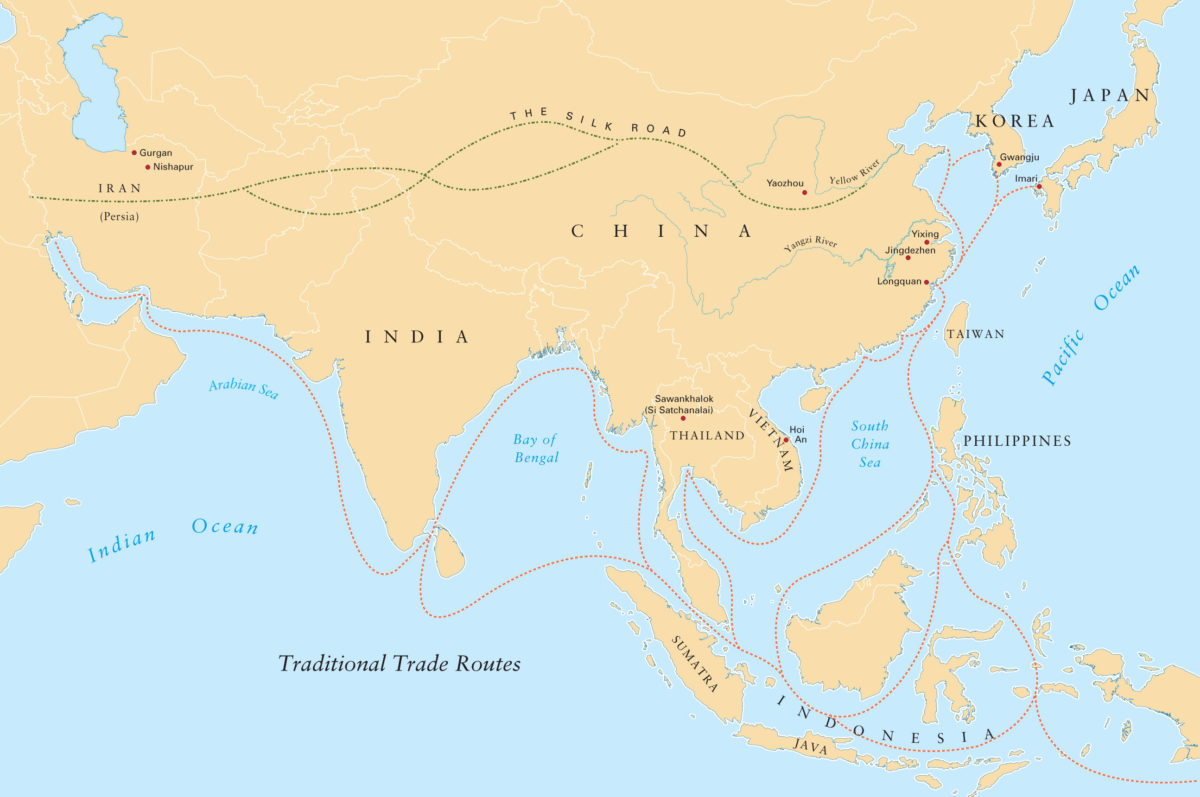
Silk Road Map BCE–100 CE, Silk Road Trade Map
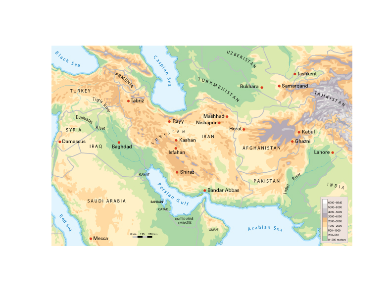
Topographical map (s)
1. Your Experiences with Travel.
Do a Quick Write (5-7 minutes), by selecting one of the two prompts. Share in pairs, then as a class.
2. What do these pictures have in common?
Show the slide, “What do these things have in common?” (in Powerpoint: Trade and Exchange in the Ancient World) Discuss. Refer to the list of items that commonly traveled the Silk Road. To draw a connection between then and now, ask students to brainstorm products that get imported and exported into America. This may be done individually, in pairs, or as a class.
3. Land or Sea?
Ask students to imagine the pros and cons of traveling by land and sea. Show Powerpoint: Trade and Exchange in the Ancient World to prompt a discussion about topography. Brainstorm the pros and cons of traveling by land or sea.
4. Plot Your Map
Video
Activity
Activity
Activity
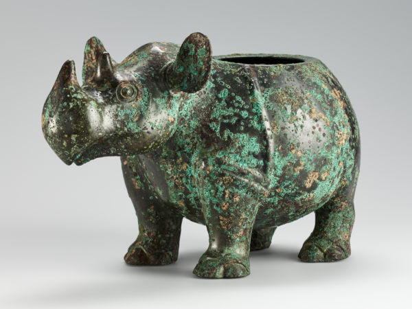
If you were to design a bronze vessel for a friend who has done something important for you, what shape would you make it? How would you decorate it? Would you use designs like the ones on the bronze vessels in the museum? What would you inscribe on it?
Background Information
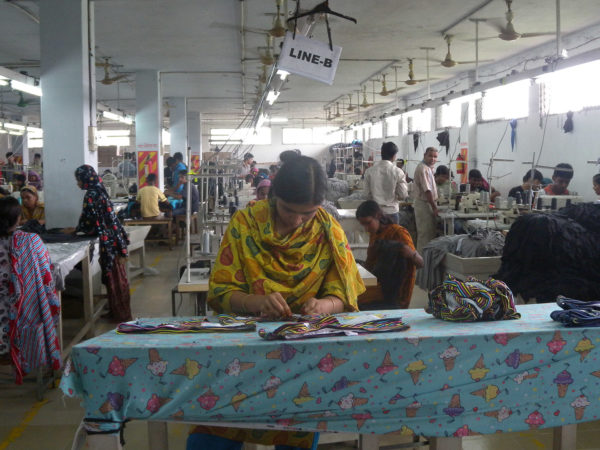
Tips and resources to inspire sustainable and slow fashion consumption.
Activity
Create your own layered collage to preserve your memories of a special place in your life.
Activity
In this activity, you will create your own “space sculpture” out of found objects, light, and shadow.
Activity
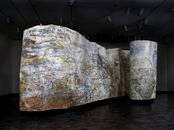
Personal Space (2001), a layered, dreamlike painting by Kolkata-based artist Jayashree Chakravarty, is an imaginary map built up from painted strips of paper. In this activity, create your own map based on your special place.
Activity
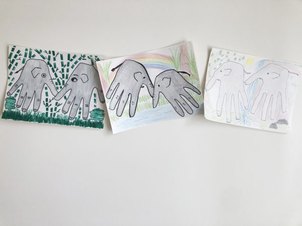
In the spring of 2020, a herd of wild Asian elephants started migrating north from Southwest China. As of June 2021, the elephants have traveled 500 kilometers, navigating through rural areas and cityscapes toward an unknown destination. Scientists believe this unusual migration was spurred by deforestation, urbanization, and habitat loss.
Activity
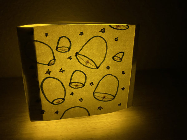
Create your own paper lantern and retell “The Girl Who Used Her Wits.”