Activity
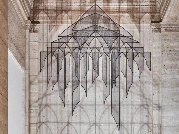
Plant your own Past Continuous Tense Forest
GRADE LEVEL: Elementary School (4-5), Middle School (6-8), High School (9-12), College and Beyond
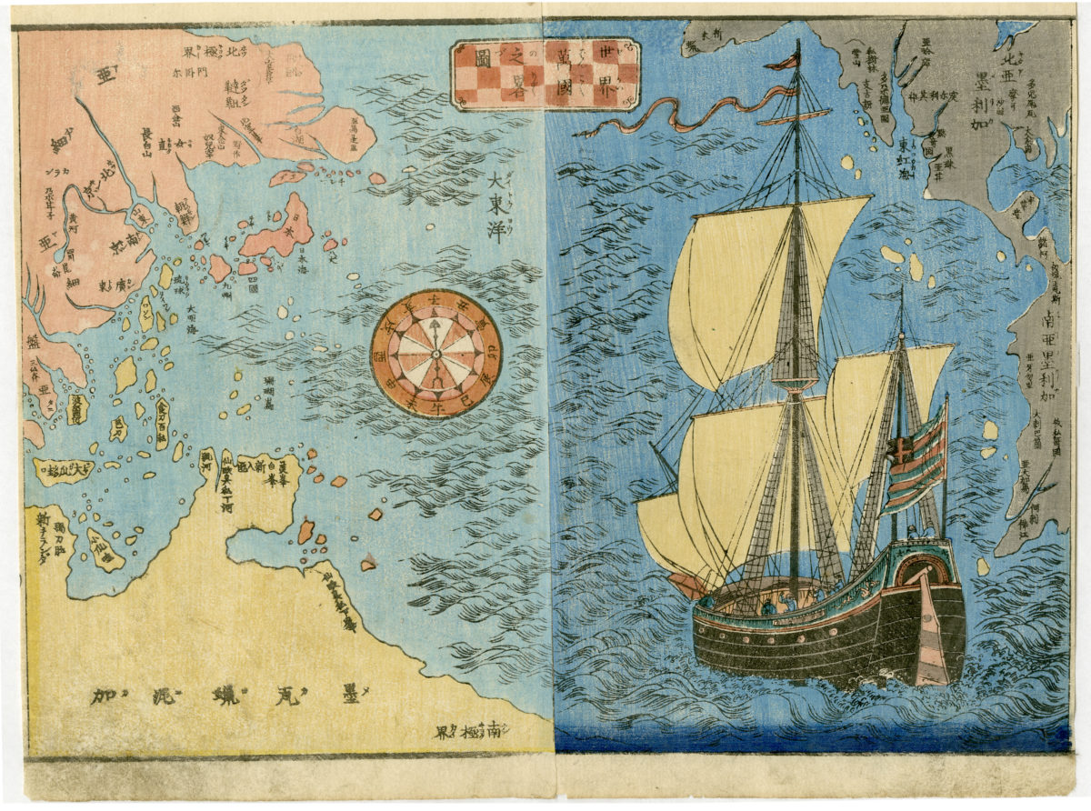
Abbreviated Map of All the World’s Nations, approx. 1800-1850. Japan. Woodblock print; ink on paper. Gift to honor the Reverend Hodo Tobase, 2010.452.
Despite regulations banning foreign travel, Japan had a well developed mapmaking tradition throughout the Edo period (1615–1868), and world maps based on European models were available as early as the seventeenth century.
Maps like this one, a double-page illustration from a nineteenth century woodblock-printed book, allowed viewers to visualize the long passage from Japan to the West. Though titled as a map of the world, it focuses on the Pacific Rim nations: Japan is shown next to the pink Asian landmass at upper left, with the vast expanse of the Pacific between it and the landmasses of the Americas, which are pictured in gray at the right side.
An oceangoing vessel and a compass marked with the twelve Japanese zodiac signs show attention to navigation and shipbuilding in the era before Japan built its own maritime fleet, and before travel to the West had become commonplace.
Activity
Activity
Activity
In this activity, you will create an art piece inspired by the work of Bernice Bing.
Activity
The imagery on a samurai’s armor expresses that samurai’s identity and source of inspiration or empowerment. Is there an image you connect with most?
Activity
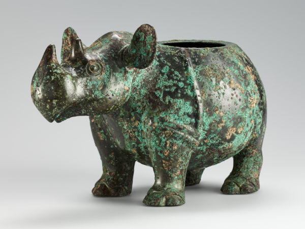
If you were to design a bronze vessel for a friend who has done something important for you, what shape would you make it? How would you decorate it? Would you use designs like the ones on the bronze vessels in the museum? What would you inscribe on it?
Background Information
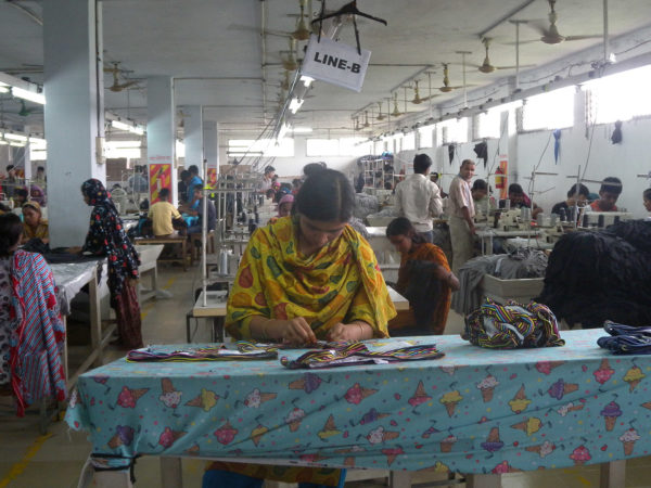
Tips and resources to inspire sustainable and slow fashion consumption.
Activity
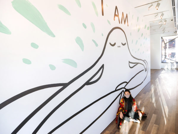
How would you answer Chanel Miller’s “I was, I am, I will be” prompt? Would your answers look like Miller’s, or would they look different?
Activity
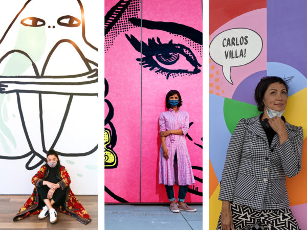
Visible from Hyde Street outside the Asian Art Museum are Chanel Miller’s I was, I am, I will be, Jas Charanjiva’s Don’t Mess With Me, and Jenifer K Wofford’s Pattern Recognition.
Activity
Create your own layered collage to preserve your memories of a special place in your life.
Activity
In this activity, you will create your own “space sculpture” out of found objects, light, and shadow.